 01Sea & beaches
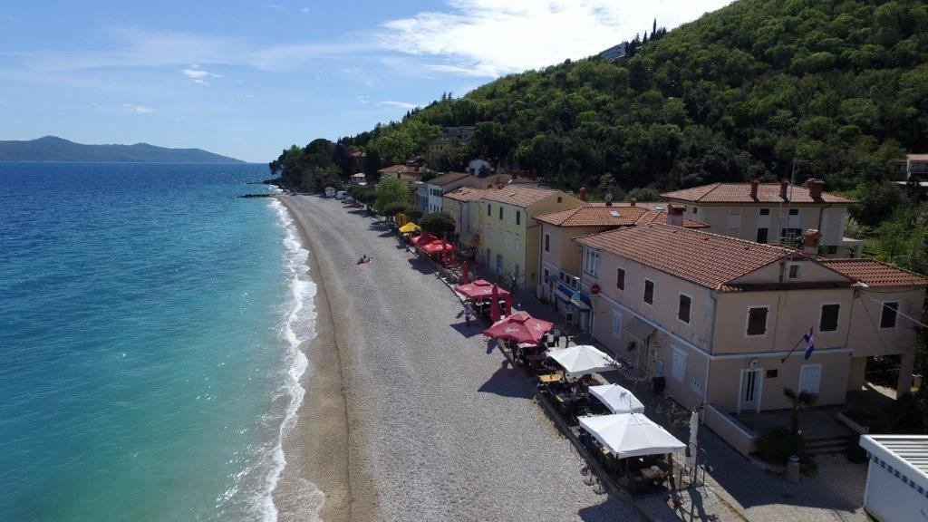
Sipar, before the day begins
The town’s pebble shoreline, a morning swim and the pleasure of staying put.
Read the story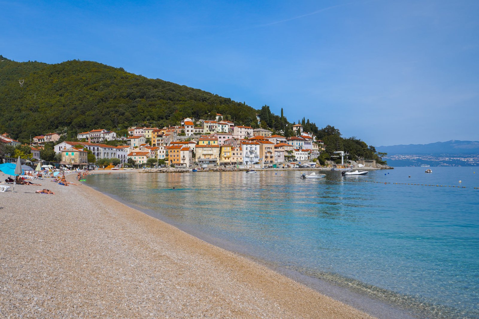
A ribbon of white pebbles. Villages above the blue. A quieter way to discover the Adriatic.
Find your DragaCome for the clear Kvarner water. Stay for the narrow lanes of Mošćenice, the light around Brseč, and the forest paths beneath Učka. Here, a short distance on the map can open an entirely different world.
Follow the shore, climb into the villages, or let the forest set the pace.
01Sea & beachesThe town’s pebble shoreline, a morning swim and the pleasure of staying put.
Read the story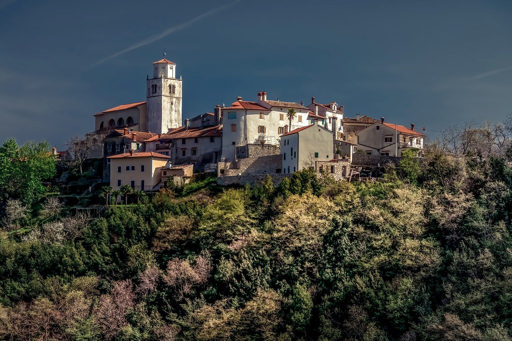 02Stone villages
A hilltop village where the coast becomes a view, and history lives in the lanes.
Read the story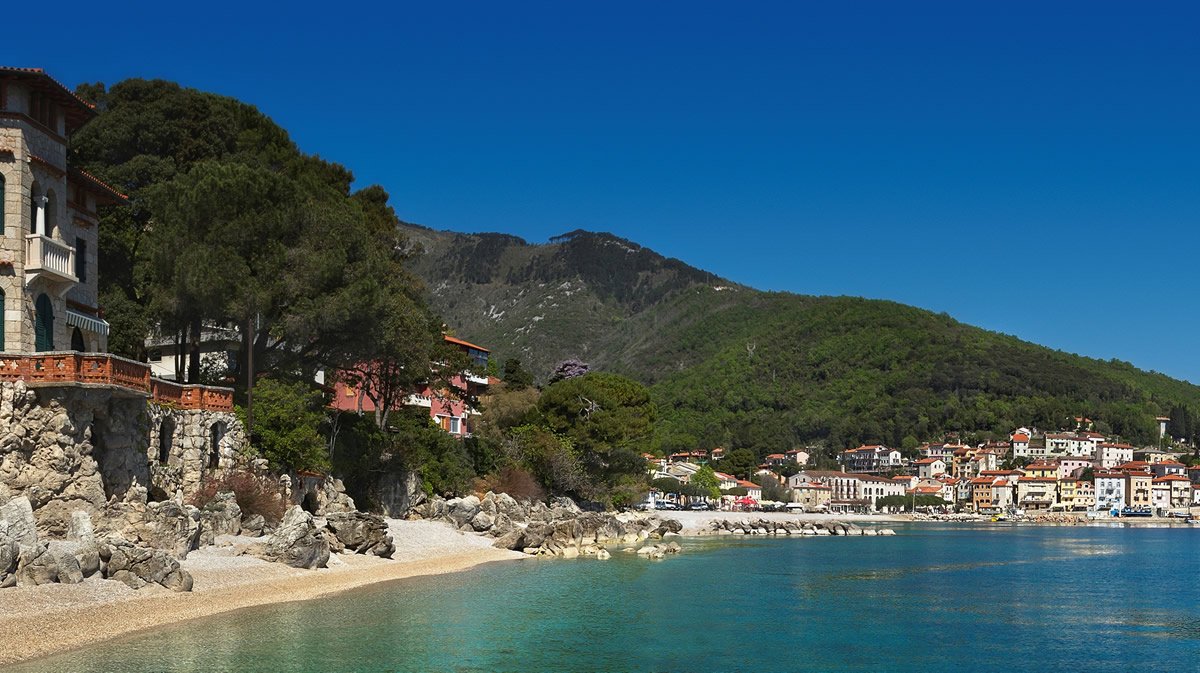 03
The coastal walk near Mošćenička Draga
Sea & beachesContinue south along the coast for another chapter in the pebble-and-blue story.
Read the story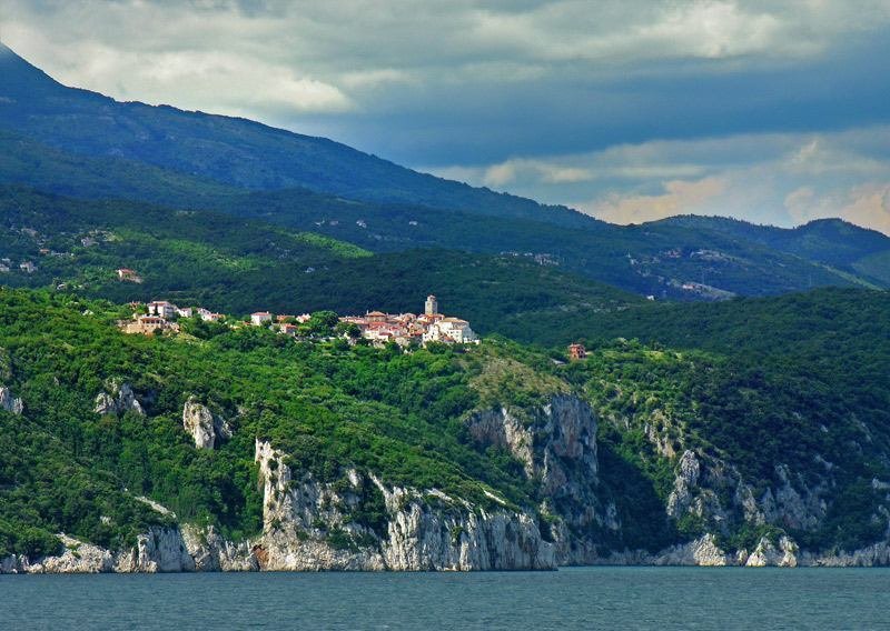 04Stone villages
Intimate lanes, dramatic coastal scenery and a reason to turn off the main road.
Read the story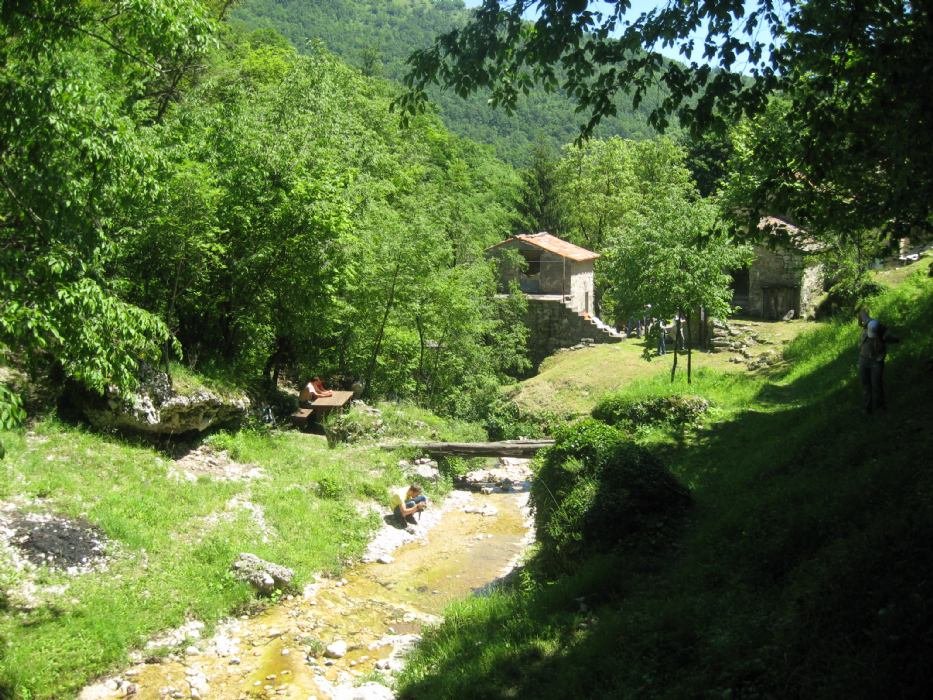 05Nature
A forested valley, traces of rural life and stories of Slavic mythology.
Read the story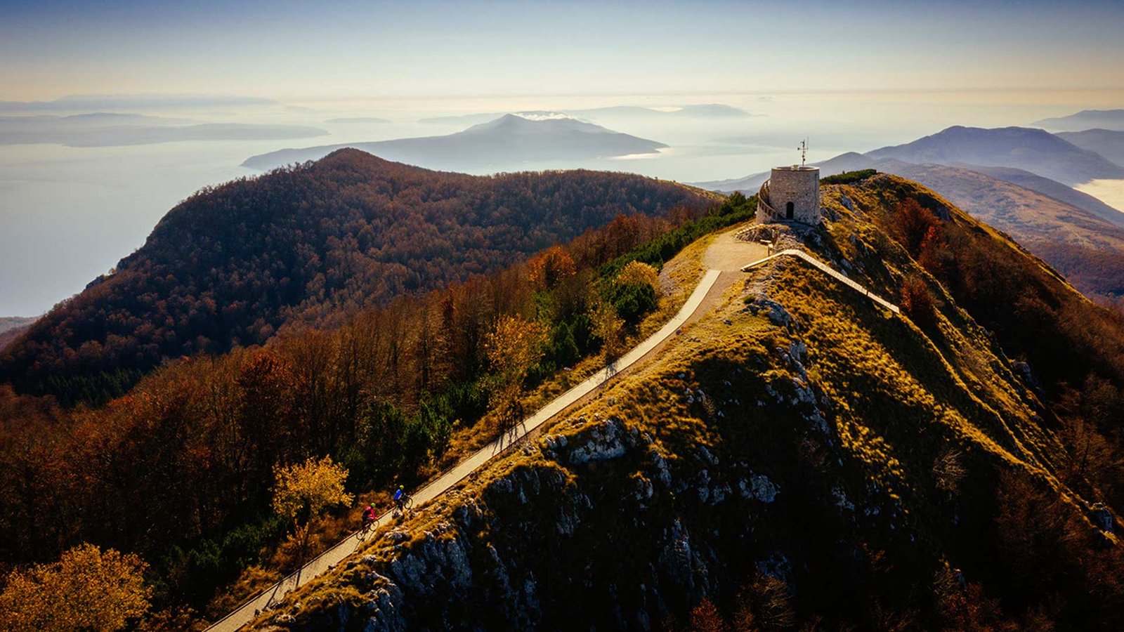 06
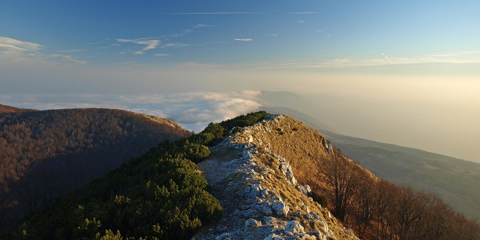
Učka Nature Park · regional landscape
NatureA full hiking day above the coast, for those ready to earn the view.
Read the storySelect a place to discover its story and open directions. The village, the shore and the mountain each need their own pace.
An early swim at Sipar, coffee by the water, then a coastal walk towards Sveti Ivan. Leave the afternoon open.
Give Mošćenice a quiet morning, then follow the coast south to Brseč. Two villages, two ways of seeing the gulf.
For prepared walkers, the Trebišća–Perun landscape brings forest, folklore and a completely different perspective.
Walking weather, greener slopes and time to explore the villages. Check the forecast before heading uphill.
Long seaside days. Start beach visits early and plan demanding walks away from the heat.
Softer light and a slower coastal rhythm. Services and sea conditions vary as the season changes.
Quiet lanes and weather-led escapes. Confirm accommodation, restaurants and trail conditions in advance.
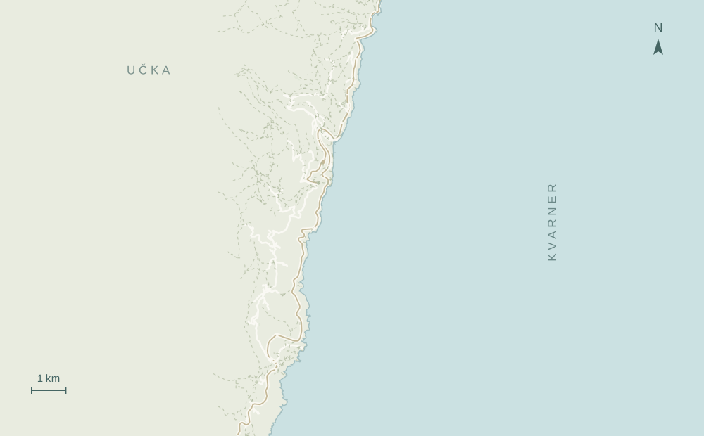
Mošćenička Draga lies on the eastern coast of Istria, on the Kvarner Gulf, south of Lovran and Opatija.
The seafront works well on foot. Hill villages and trailheads need more planning; a short map distance can involve steep terrain.
Water shoes for pebbles, sun protection and a refillable water bottle. For the mountain: hiking footwear, a route and suitable layers.
Confirm public transport, parking rules, opening times and weather with the relevant operators. This guide does not display live availability.
Geographically it lies on Istria’s eastern coast, facing the Kvarner Gulf. Administratively it is in Primorje-Gorski Kotar County.
Sipar and Sveti Ivan are pebble beaches. Water shoes may make entering the sea more comfortable.
The connection from Sveti Ivan involves 753 steps. It is a significant climb, so allow time, bring water and consider the road approach if stairs are unsuitable.
The full Mošćenička Draga–Trebišća–Perun route is a full-day hike. The nature park lists roughly 15 km and 7 hours; conditions and fitness affect the time.
No. This is an independent editorial destination platform by Adriatic Ritual. Use the local tourist board and nature park for current official visitor information.
Explore the wider Kvarner and Croatia through our destination network.